
Kihei Neighbors by Block
The most reliable block search separates parcels from people. Hawaii GIS can show which parcel polygons border a starting lot. Maui Real Property Assessment records identify assessed owners and mailing data. County planning and public-document systems add permits, map folders, and land-use context. Election data is regulated, and civic groups publish contacts rather than resident rosters.
| Source | What It Shows About a Block | Access |
|---|---|---|
| Hawaii Maui parcel layer | TMKs, polygons, assessment fields, zoning context | Open REST layer and query |
| Maui RPA and qPublic | Assessed owner, owner type, mailing fields | Portal, office, phone, data files |
| Maui public documents | Permits, parcel history, map and planning folders | Online index, office, UIPA |
| Maui voter data | Statutorily available fields for a certified purpose | Application and affidavit |
| KCA and local associations | Public boundaries, meetings, board or management contacts | Public pages; no open member roster |
An owner may be a person, trust, business, estate, or lessee. The owner's mail may go to another place. Neither field proves occupancy. A useful neighbors result therefore says “adjacent parcel and assessed owner,” not “person living next door.”
Map Kihei Neighbor Parcels
The state parcel layer supports geometry queries. Begin with one verified TMK and retrieve its polygon. Next, identify shapes that share a boundary or fall within a clearly stated distance. Save each adjacent TMK and the layer's source date. Cross-check those keys against qPublic or the county public-documents index.
The official Maui parcel layer displays the fields and map-service limits used for this block method.
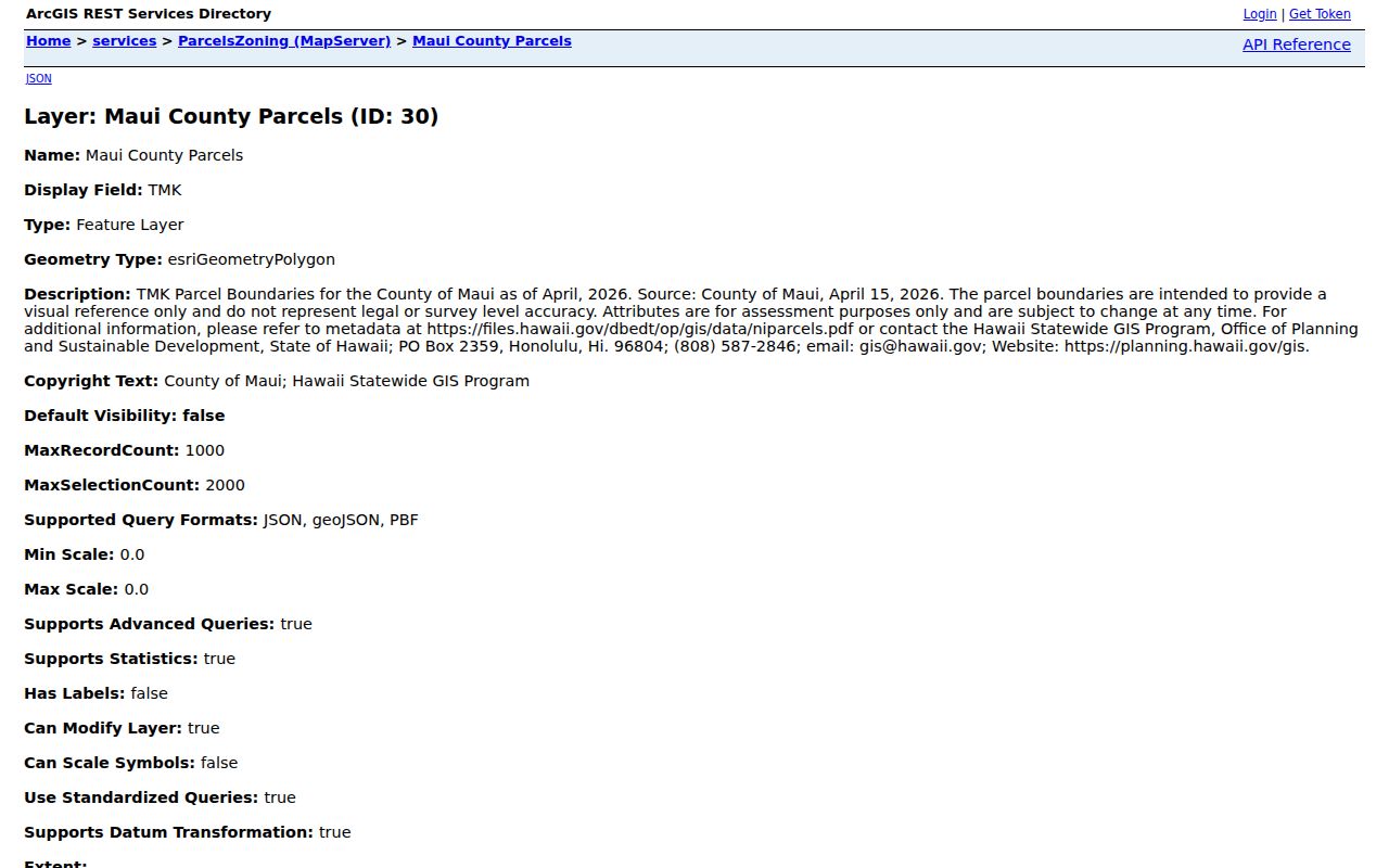
The layer helps define nearby land records. Its area and perimeter fields are map measures, not surveyed lot-line proof, and the qPublic link leads to assessment rather than occupancy data.
Trace a Kihei Block
Move outward only after the starting parcel is certain. A postal address can differ from the county situs wording, so compare both and keep the TMK as the common key. Then follow this short process:
- Verify the address through USPS and the Maui parcel route.
- Record the starting TMK, polygon, and map date.
- Select touching polygons or use one stated distance. Save each adjacent TMK.
- Open assessment and county documents for each TMK. Label owner, mailing, situs, permit, and map fields separately.
- Stop at the intended block. Do not expand the search into a personal profile.
This flow is for immediate surroundings. The Kihei street directory handles a whole named street and its fuller deed and address chain.
Kihei Parcel Date Mismatch
Maui's parcel and zoning layers do not share one date. The current parcel layer is county-sourced in 2026, while the zoning layer is aligned to 2019 parcels. A boundary or polygon may therefore appear offset when the two are overlaid. This is a research quirk, not proof that a lot moved or that a neighbor owns extra land.
Display both layer dates. Use the map for visual context, then refer legal boundary or zoning questions to Maui Planning. The Maui Planning and GIS page also routes readers to land-use, community-plan, shoreline, and flood resources.
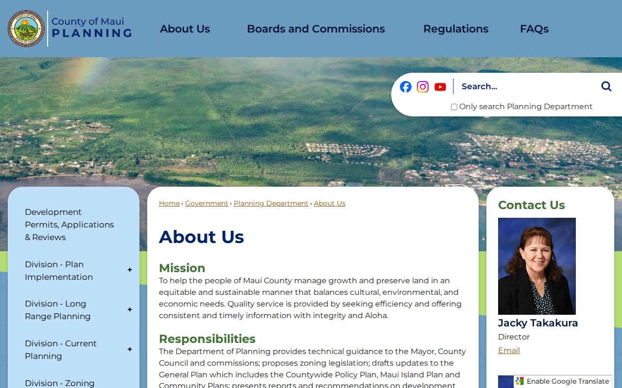
These layers describe planning and environmental context around Kihei neighbors. They do not identify residents or replace a parcel survey.
Kihei Block Document Records
The Maui public-documents index can add depth after adjacent TMKs are known. Its categories include parcel and permit records, subdivision files, civil as-builts, planning maps, master plans, RPA field books, ownership-history books, and map-history folders. Wildcard * searches help when an old label differs.
The official Maui public-documents index presents those categories in one county source.
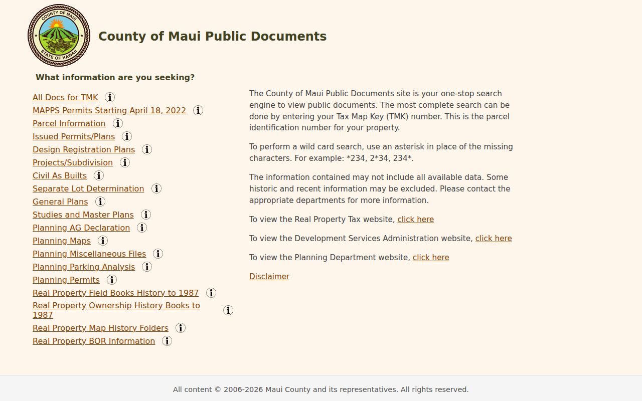
A file may describe a parcel, permit, map, or plan without naming an occupant. Record its category, number, date, TMK, and field meaning before drawing any conclusion.
Kihei Neighbors and KCA
The Kihei Community Association has described a South Maui civic frame from Maalaea to La Perouse and traces its public history to 1960. That area is not the same as the Kihei CDP, postal ZIP, Kihei-Makena plan, or a group of adjacent parcels. KCA offers public meetings, board information, resources, and community contact. It does not publish an open membership roster.
Kihei Community Association
Public meetings and civic resources
South Maui community frame
Kīhei Kauhale Nani
Association management contact
Documents may require login
Maui County Directory
Organization and resource search
Category, name, city, and state
Use these contacts for public rules, meetings, and services. Do not treat a civic boundary or association page as proof that a person belongs to a group or lives within its area.
Kihei Neighbors and Voter Data
Hawaii's voter system is not a casual block directory. HRS §11-97 treats name, district, precinct, and registration status differently from the rest of the voter affidavit. Maui County requires a voter-data application, purpose certification, format selection, and fee. The county Elections Division also accepts contact by phone, mail, fax, and in person.
Even authorized voter data cannot establish every person at a nearby address. Minors, people who are not registered, and protected participants will not form a complete household list. The Address Confidentiality Program supplies substitute addresses for qualifying survivors and must never be defeated through cross-source matching.
Official Kihei Neighbor Sources
Official records and commercial neighbor tools serve different roles. Use the official custodian when accuracy, field meaning, dates, or correction rights matter.
| Source type | Strength | Main limit |
|---|---|---|
| County and state records | Named custodian, identifiers, dates, request route | Each system covers one public purpose |
| Community organizations | Meetings, boundaries, public contacts, local issues | No general public member or resident roster |
| Commercial neighbor category | May combine convenient address hints | Unknown freshness, false matches, unclear field meaning |
If an official online record is unavailable, call RPA at 808-270-7226, Planning at 808-270-7735, or Clerk Elections at 808-270-7749. In-person offices, direct forms, library help, and a narrow UIPA request for an existing county record remain valid routes.
A UIPA request should name the agency, describe the existing permit, planning, map, meeting, or assessment record, and state whether inspection or copies are wanted. Maui's GovQA portal covers participating agencies, but not every custodian. RPA, the Clerk, the Judiciary, and state offices may require their own direct route. If an agency response is missing or incomplete after the state guidance's 10-business-day assistance point, OIP can help with the process. That deadline is not a promise that every file will be released.
Privacy for Kihei Neighbors
Adjacent land does not mean an adjacent person. Parcel owners, mailing addressees, deed parties, permit applicants, voters, association contacts, and historical directory entries describe different relationships. Show the source, record date, access date, jurisdiction, and identifier. State what the record does not prove.
Hawaii's Address Confidentiality Program uses a substitute address for qualifying survivors of domestic abuse, sexual offenses, or stalking. Do not attempt to connect that substitute to a hidden physical location. Questions belong with the Department of Law Enforcement program route at 808-587-5054. Court, vital, voter, and public-servant protections also remain record-specific.
Accuracy also protects the people on a block. A common name can belong to someone else. An old mailing field may survive after a transfer. A 2019 zoning shape may not line up with a 2026 parcel. Keep owner, situs, mailing, record party, association contact, and current resident as separate labels. Corrections should go to the office that holds the source, not to a private compilation that cannot change the underlying government record.
Lawful use. Research Kihei neighbors only for lawful personal and civic reasons. Never watch, harass, intimidate, harm, or expose a protected person.